
Editor: 邵丹蕾 Author: Time: 2022-01-12 Number of visits :242
The Taklamakan Desert, located in the Tarim Basin of northwest China, is seen as the driest area of the Asian mid-latitude arid zone and one of the major sources of global dust. But it is in this remote desert where the brocade antiquity, well-known for its Chinese seal characters dated back to the Han Dynasty (202 BC–220 AD), was unearthed and hailed as one of China’s greatest discoveries in the 20th century. Was the Taklamakan Desert, China’s largest desert with its name meaning “the place of no return”, really hospitable for human beings in historical times?
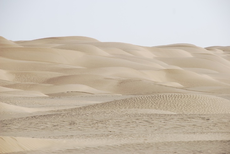
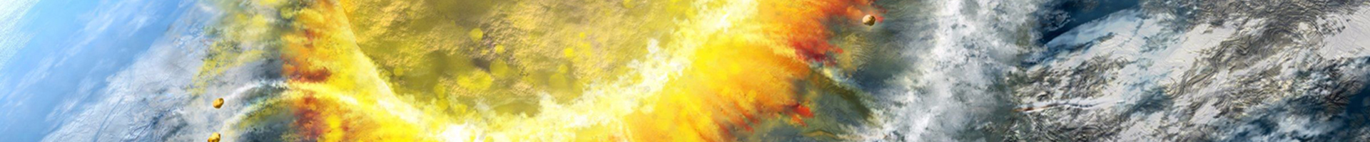
Shifting dunes in the Taklamakan Desert
Recently, the research team led by Prof. YANG Xiaoping at the Zhejiang University School of Earth Sciences found out that the core areas of the Taklamakan were inundated by water multiple times, using multidisciplinary methods related mainly to Quaternary geology and geomorphology. This is the first time that the scientific community could have comprehensively and systematically documented the occurrences of rivers and lakes in the central Taklamakan Desert.
Since 2015, YANG Xiaoping et al. have conducted extensive fieldwork in the central and western parts of the Taklamakan Desert, applying research methods commonly used in remote sensing, geomorphology, environmental and Quaternary geology. Meanwhile, they have engaged in comprehensive and systematic investigations into fluvial, lacustrine and aeolian sequences that they discovered in the desert. “The lack of continuous paleo-environmental records in such a desert is quite challenging for the research of palaeoenvironmental changes, because more than 85% of the Taklamakan Desert is covered by the mobile dunes,” said YANG Xiaoping.

The wetter periods (green bars) in the Taklamakan Desert during the last 80 ka
“We come to the conclusion that the fluvial and lacustrine deposits in the study areas were formed during wetter periods in the geological history. At such times, surface runoffs with larger amount of water in the catchment of the Niya River were able to flow to the desert hinterland. The sedimentary evidence we found indicates that rivers and lakes irrigated the desert landscape in the past,” said YANG Xiaoping. The 34 optically stimulated luminescence (OSL) ages and sedimentary features of the samples indicate that the Taklamakan Desert experienced three relatively moist periods since the late Pleistocene, i.e., ca. 70–50 ka (1 ka = 1000 years before 2010 CE), the late glacial of the last glaciation (ca. 17−11 ka) and the late Holocene (ca. 5–2 ka).
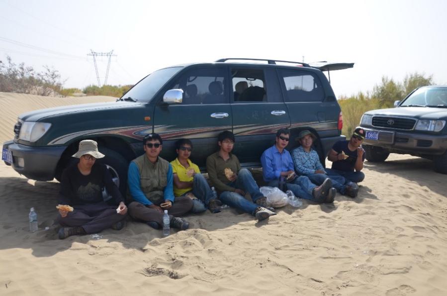
ZJU Scientists’lunch during the fieldwork seasons in the Taklamakan Desert
The newly found slack-water deposits and the archaeological evidence from the Niya ruins enable the team to conclude that the Niya River, located at the southern rim of the Taklamakan Desert, was able to flow at least 70 km further into the desert during the Han Dynasty roughly two millennia ago, thus creating a large oasis in the inner part of the vast desert and providing water resources for the prosperity of the ancient civilization of Jingjue.
Reprinted from https://www.zju.edu.cn/english/2022/0110/c19573a2474359/page.htm